Party: Tim Vollmer, Grant Billen, Sam Chorazy, Ulla Heikkilä, Andres Albornoz and Naser Ghobadzadeh
Date: 08-10/06/2013
Photos: T2’s photos
Original report: https://fatcanyoners.org/2013/06/08/upper-kowmung/
The June long weekend always means bushwalking to me. Sure, it’s my wife’s birthday, so I probably should spend it with her, but the thought of three days in the mountains breathing the crisp winter air is always too alluring.
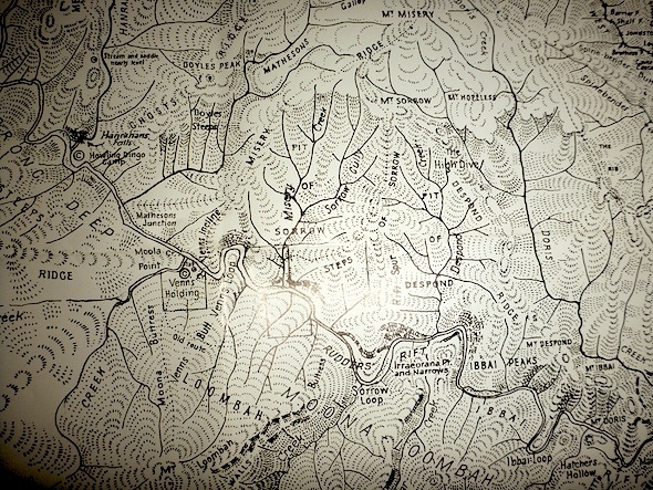
With Myles Dunphy’s classic sketch map of the Kowmung hanging on my study wall, I knew I wanted to explore a new section of this stunning wild river, but it wasn’t until a couple days out that I finally made up my mind.
The section just below Morong Deep looked particularly exciting, with twists and turns, towering bluffs, and the kind of place names that seem like someone wanted to keep walkers away from their little secret paradise. In fact, it wasn’t until the final day that we started to understand why there were names like Despond Ridge, the Steps of Sorrow, Mt Misery and Mt Hopeless.
But what really drew me to the area was a strange notation on the map. “Stream and saddle nearly level” it reads at a point where a long, impressive creek seemingly rises up to rejoin the neighbouring ridge-line. Best of all, this ridge was named Megalith Ridge, which sounded impressive in itself.
By the weekend, illness and injury had cut us down to six, which was probably the perfect number in this terrain.
We set off early, knowing the challenges of short winter days, with the two cars arriving at the start of the Uni Rover Track not long after 9am. We could have done a car shuffle, but the beautiful open forest on the Boyd Plateau is nice enough to make a road bash worthwhile.
The air was crisp and the sky overcast as we walked, but we were all in a great mood knowing we were escaping it all for three days.
We paused for an early elevenses soon after leaving the fire trails and set off towards Morong Mountain.
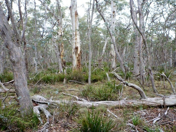
The going was easy, with several roos seen bounding off as we walked. The one challenge was that this vast, incredibly flat mountain was almost featureless, so I ended up drifting a little west of where we wanted to be. No worries, as we stumbled on some stunning rock formations before detouring over to the start of Megalith Ridge.
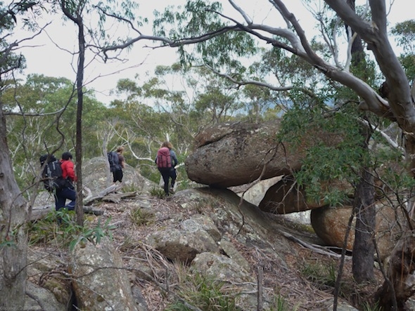
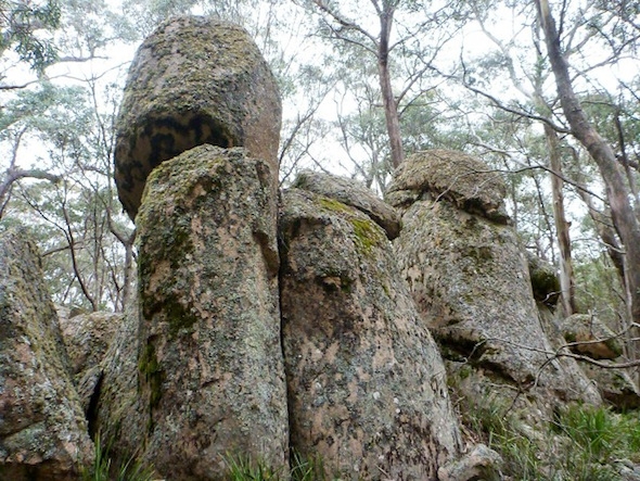
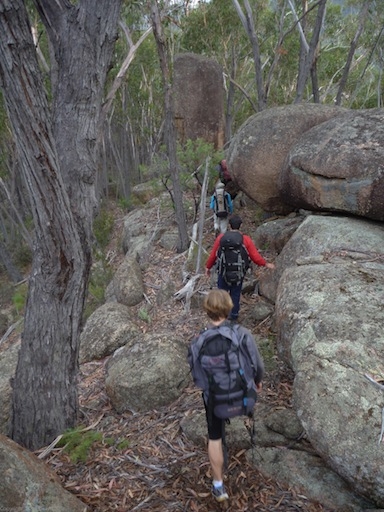
There was more nice open walking, with expansive valleys dropping off beside us, but the real excitement for me was the granite tors. The further we went, the more of these impressive lumps of rock appeared, like the Moai of Easter Island. It certainly made sense of the ridge’s name.
We were making good time, and were less than 500 metres from the magical spot where creek and ridge top meet when disaster struck. Andres stumbled and fell, which wouldn’t have been an issue except that as he grabbed out to catch himself his shoulder dislocated.
We regathered to work out what to do. He was in a reasonable amount of pain, but more significantly his shoulder wouldn’t easily go back in. We decided to stop here, have lunch, and assess our options.
Thankfully it wasn’t Andres first dislocation, and Grant had some experience with shoulder dislocations too, so they both worked through a few techniques to help the shoulder go back in.
As we ate, things were looking increasingly hopeless, and I was already planning what two-day walk we could do after walking back to the cars and driving Andres to hospital.
Then finally, right as we were going to have to make the decision to abort, his arm went back in. Phew.
The next question was whether he could go on. He assured us the pain wasn’t too bad, and that the only reason it had come out was the awkward fall. Finally we decided to live the club motto and “press on regardless”. It’d take more than a dislocated limb to stop us!
Soon enough we were at the highlight of this ridge. Just a short time earlier the massive creek, which runs nearly 10 kilometres before this point, was 200 metres below us, but all of a sudden we could see it getting closer. Sure, the ridge was dropping, but it actually felt like the creek was rising up to meet us. Then we could hear it, gurgling away beside us.
This spot was truly unique. The water level must be no more then three or four metres below the top of the ridge. It seems like one flash flood, or one slight blockage, and this creek will burst over the top. Weirder still is that the ridge plunges steeply on the other side, making for a stark contrast.
Finally we moved on, further down the ridge. I’d been expecting the impressive granite tors to run out, but they only seemed to become more prevalent. In fact, I got quite the geological lesson, with this stunning pink rock continuing the whole way to the river.
It was only at our camp site, a few hundred metres downstream, that we found the start of that slippery, angular, dark metamorphic quartz that Kanangra and much of the Kowmung are known for.
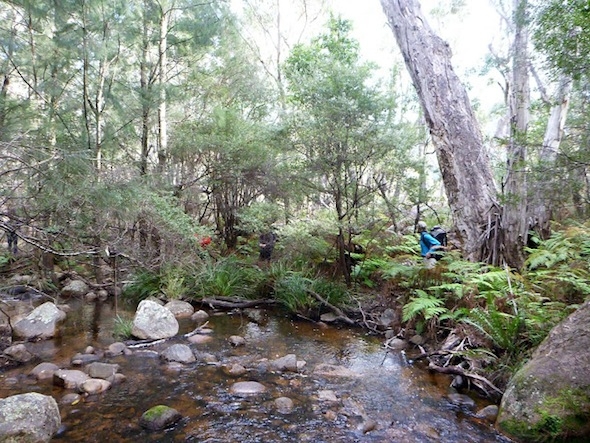
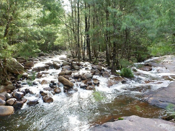
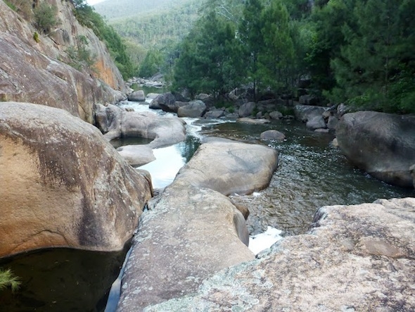
Despite the arm incident, it was only early afternoon, so we found a nice campsite, collected firewood, then set off for some exploration upstream. The Kowmung is stunning here, with long pools, tumbling cascades, impressive boulders, open granite slabs, and towering stands of casuarinas.
The others decided to head back to camp, but I was having too much fun, so I pushed on further into Morong Deep.
The water-worn rock was stunning in the late afternoon sun. Had the weather been warmer I’d have leapt into the icy waters.
With less than an hour until dark I set back, making much better time on the return journey.
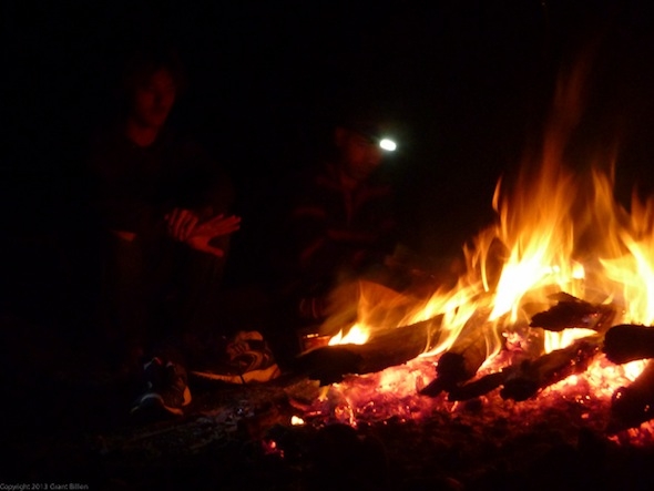
Back at camp we soon had an impressive fire going, which drew out the shoe-drying brigade. Despite warning of melted soles they pressed on, which finally ended in grief the following night.
In the morning we made a relaxing start, all enjoying a sleep in before sipping cups of tea over the breakfast fire. Finally we decided to pack up, and it was only as we were getting ready to move that we realised there was still a tent up. Had anyone seen Sam?
Sam, (who was doing his first club walk despite being elected SUBW vice president in March) had managed to sleep in until almost 10, despite all the noise.
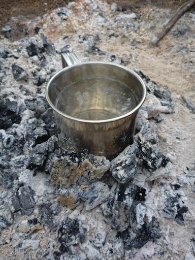
While Sam quickly scoffed some breakfast and packed his bag, Naser decided to try and use the last of the embers to boil another cup of tea. Despite his best efforts, with every last ember scraped together, it never made it to the boil, but at least it entertained us.
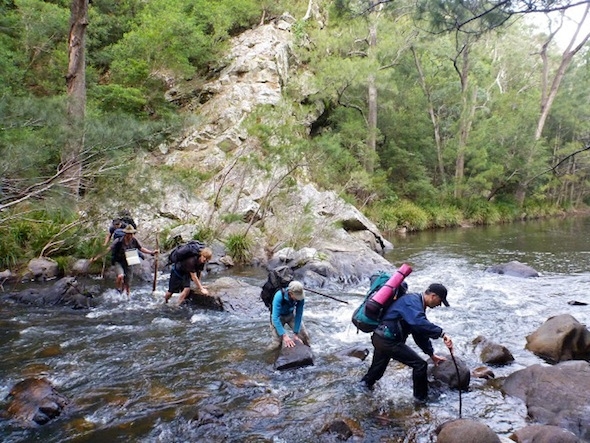
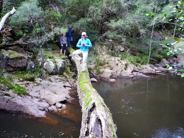
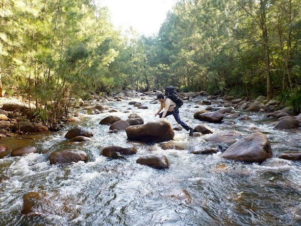
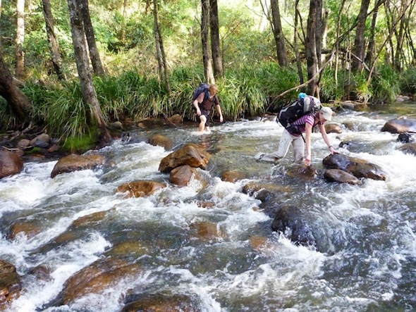
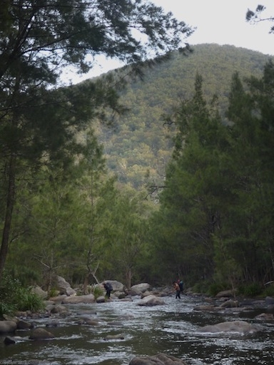
And then we were off. We hopped along down the river, in places following rocky benches, but mainly wandering the banks of river stones. Every so often the river would turn, and a large rocky rift would bar our way, forcing a wade across.
Early on there were shoes removed and impressive leaps of faith to stay dry, but with each crossing there was more acceptance of getting wet.
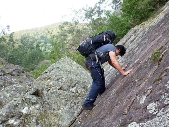
At one point, to avoid another crossing, I decided to push up the hill over what seemed to be a short cliff. Before long we were crawling through scrub that clung to the steep, scree slope, and looking down at a river that seemed impossibly far from us.
Finally we popped out of the scrub and into nice open woodland, which we followed along to a small side creek that took us back to the river.
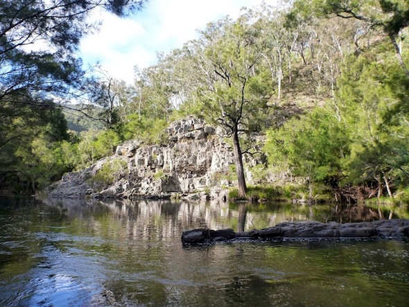
Back at the river there was immediately another obstacle, with a crossing, a little cave and a quick scramble taking us into the most amazing camping spot. Hidden away, with cliffs opposite, under a cover of trees, was a flat bank covered in grass and ferns that almost looked manicured. If it wasn’t mid-morning I’d have been tempted to stay put!
Around this point river lost all chronology in my mind, so the following experiences are a little jumbled. It was just an alternating mix of nice walking, occasional scrub, huge pools, impressive rapids, towering cliffs, open valleys and a possible platypus. I say possible, because it was a fair way away, but it certainly was acting like a platypus.
There was the solitary leech we found, which was observed then placed well away from us. There was also the half buried Dunlop Volley, which from the sole was almost brand new. I’m not sure how it was lost, or how long a walk was done with only one shoe.
I packed it out (in a large part because there was every chance it belonged to a SUBW member!)
We stopped for lunch on some rocks near a nice sandy beach. I’d been hoping for sunshine, so I’d be able to have a swim, but it wasn’t forthcoming.
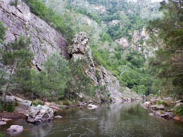
Straight after lunch we had to cross again, with the bluffs here even higher — rising nearly 100m. In fact, the whole river was becoming more challenging.
The open banks closed in, the easy walking under trees dried up, and the crossings became deeper and more often.
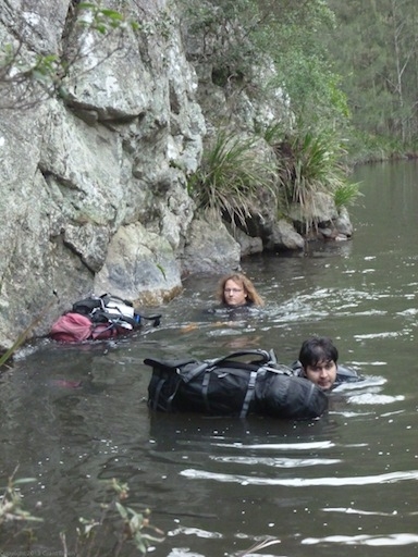
Finally, after a few wades and awkward scrambles, we hit a swim. I’d warned everyone that there was a chance of this, but I’d been hoping to avoid it. The scramble up and over was too dicey — we’d need to abseil — while traversing around the rock would end in a fall.
Everyone paused to waterproof their packs as much as possible then pushed off. It was only about 15 metres, but the water was icy. We couldn’t wait to return to dry land. Thankfully that was the only swim.
Further on we were greeted with glowing cliffs high above, as they caught the afternoon sun. There was also a stunning loop in the river, with a rocky spine running from hundreds of metres above in a straight line, forcing the river around it.
Then there was our second platypus, the one I’m certain about. It popped up a few times to play, but kept just far enough away that the photos on my crappy point-and-shoot all looked like the Loch Ness Monster.
It was getting quite late by now. We wanted to camp at Hatchers Hollow, which while only about a kilometre away would be pushing it. Finally, right on dark, we wandered up Redcliff Creek, filled our water bottles, and popped over the small saddle into the camp site.
Hatchers Hollow is amazing. Even in the dark we knew it was something special, with a huge, flat, grassy area dotted with towering trees. There was plenty of wood, and some sitting logs around a well-used camp fire. We set up, lit the fire, and were enjoying dinner at a regular hour.
Another round of shoe drying (and clothes drying) ensued. I didn’t bother with the warnings this time, but in the morning there was more than one melted insole, sock and even a shirt with a dirty big hole in it!
We set off a good hour earlier today, learning from yesterday’s mistake. (Sam was woken by some vigourous banging on his tent.)
Within a few hundred metres we had to cross the Kowmung for the final time — so much for those dry shoes and socks!
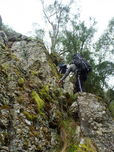
We set off up a steep spur, with a couple easy scrambles followed by a tiresome trudge up unending scree. It can’t have been too technical though, as some fresh cow pats proved even a bovine could make it up.
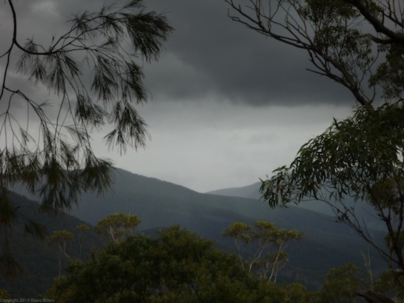
We caught our breath on top of Mt Dorris, but didn’t stay too long as some ominous storm clouds were brewing in the south east.
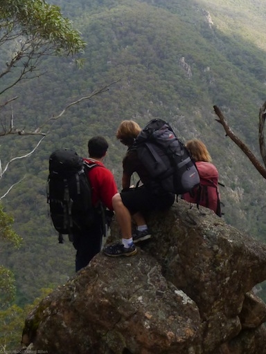
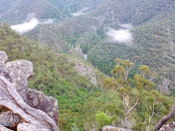
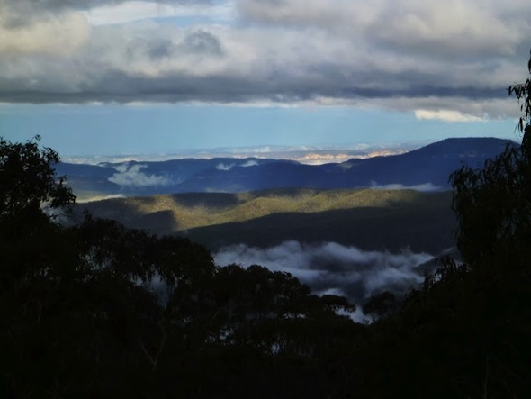
The ridge took us along, over Mt Ibbai to Mt Despond where we had spectacular views over the Kowmung as it snaked hundreds of metres below us.
A couple members of the party were struggling with the uphill and regretting packing a bit too much in the way of food and clothing, but they trudged on.
At a saddle on Despond Ridge, just before a spot Dunphy called “The High Dive”, we paused for lunch. We’d no sooner stopped than the rain started coming down, and the rain jackets came out. It was cold, wet, and we had a dirty great hill in front of us.
After lunch, as we climbed up the ridge towards Mt Sorrow, the place names became more understandable. It was cold, wet, and unendingly going in an upwards direction. The Pit of Despond, as the valley to our west was called, summed up the feelings of some in the party.
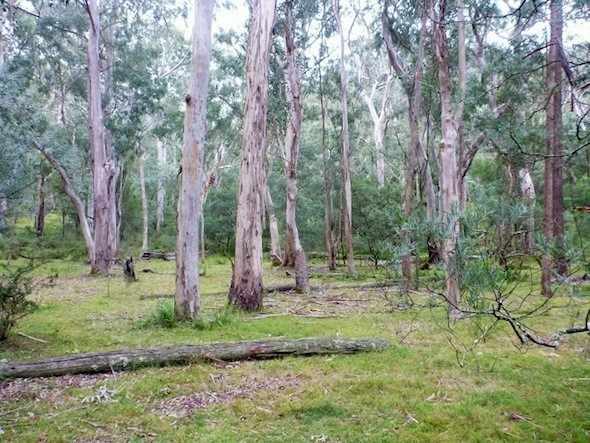
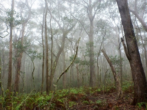
Finally, we were up on to flatter ground. Again we were greeted by attractive open forest, with a nice understory of ferns. As we wandered through we were enveloped by a light mist, giving the whole area an eerie feel.
We ignored the shortcut taken on last year’s PBT, following the ridges from Mt Sorrow to Mt Misery, which Grant said was definitely a better option.
Here a bit of a footpad appeared, and we knew we were nearly back to civilisation. We followed it to Mt Goondel where we met the Uni Rover Track.
It was mid-afternoon, and we hadn’t been making great time, so we decided to pick up the pace here. It worked well, and we were soon flying along, but then we managed to lose the track near Lost Rock (imagine that!)
After a couple minutes we were back on track, and after a pause to enjoy the views over the Blue Breaks and beyond from Lost Rock we were making the final push.
We made it back to the cars with close to an hour of light to spare, which was nice. Packs dumped in boots and a quick change out of the wet clothes and we were on the road, headed to the Hampton Halfway House for dinner.
It’d been three days of spectacular walking. The geology meant our two days of ridge walking had been totally different. But best of all the river up this high had none of the signs of pigs, weeds or other problems that I’ve seen lower down. It was pristine, wild, and truly stunning. We’d gone three days without seeing so much as a trace of another person.

