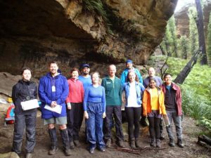
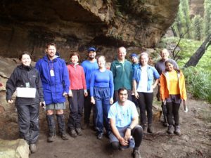
Party: Arslan Ahmad, Ashley Burke, Claire Chatry, Elizabeth Sharaq, Isabel Hanson, Izabela Rydz, Kaushalya Madugalle, Kshitij Sahni, Marty Frappell, Michael Tran, Robert Merlino, Rodney Riddle.
Date: 2-3/5/2015
Photos taken by Kshitij:
https://plus.google.com/photos/100287664285036662816/albums/6144552900575918561?authkey=CMv84_qi8JihogE
https://plus.google.com/photos/100287664285036662816/albums/6144554510109445057?authkey=CM6EvPi3rfW4Ng
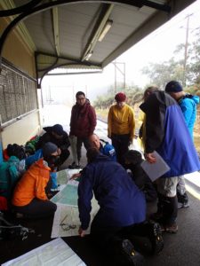
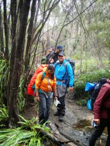
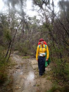
In the 10 years that I have been running this trip, this year was the consistently wettest of them all. 12 brave souls gathered at the sopping wet gravel car park of Bell Station at around 9am on Saturday morning. Fortunately it was neither windy nor cold. Apart from the inside of the cars, the only place out of the rain was under the eaves of Bell station’s railway platform.
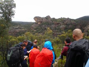
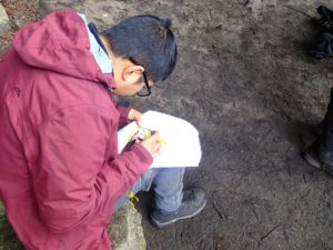
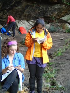
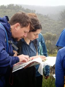
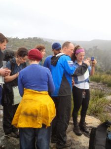
As you’d expect, the art of navigation involves opening up maps and studying them – something that is difficult to do in the rain without the maps getting sopping wet and falling apart. The trick therefore, apart from carrying the map in a watertight ziplock bag, is to do as much preparation as possible somewhere dry and comfortable before setting out. So we gathered around under the shelter of Bell station and began working out our route for the day, and this activity was interrupted only by the almighty clatter of the occasional goods train thundering past, horn blaring and wheels screeching. In time we had pencilled in a route on our maps, a route that would take us into the Wollangambe Wilderness, a labyrinth of sandstone gorges and rolling green hills dotted with delicate and complex pagoda formations. There would be a crossing of the Wollangambe River, something that promised to involve feet getting wet, if they weren’t already.
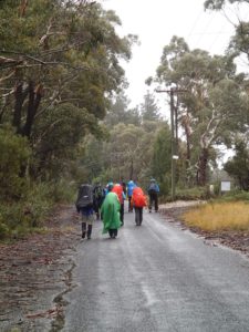
So with plenty of advance preparation and with some compasses already set on pre-planned bearings, we were ready to set off in the rain. Our preparations meant we could walk to the next dry spot pretty much without stopping. It wasn’t until around 11am that we finally set off.
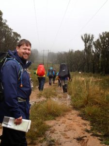
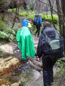
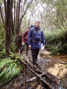
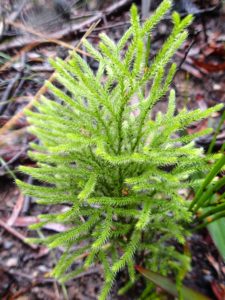
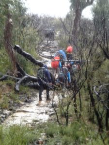
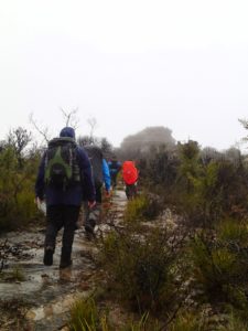
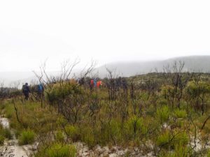
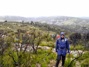
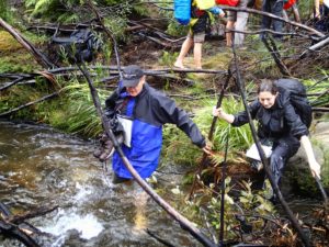
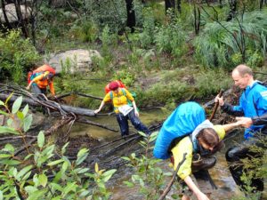
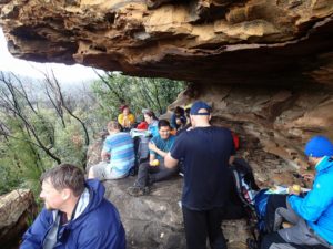
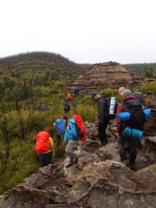
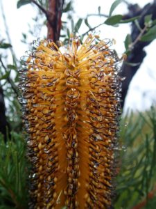
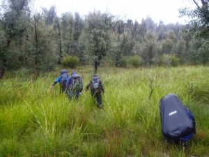
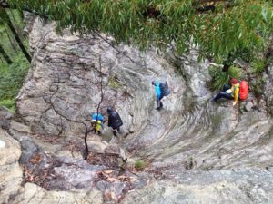
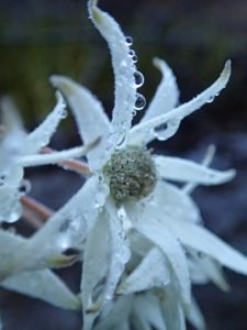
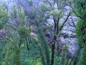
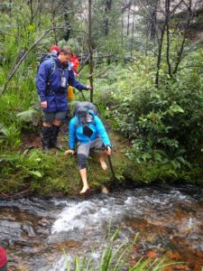
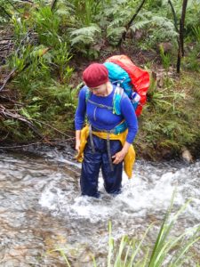
Walking in the rain was in the end very pleasant. The bush had been severely burnt 18 months ago in the Lithgow mines fire, and the new growth of native plants looked healthy, succulent and verdant with large drops of water hanging from every leaf and twig. We made good time, stopping occasionally to look at maps and practise the skill of correlating the landforms that we were walking through with the contours and markings on our maps. It wasn’t cold, but we didn’t stop at 994 as we usually would have. Rather, we continued on our pre-set bearings to the Wollangambe River. This far upstream the ‘Gambe was no more than a fast running stream, but still it required care to cross and more than one of us needed a hand to get across, or a stout walking stick! Then it was a steep climb out to a sheltered overhang for a bite of lunch. This sheltered spot offered another opportunity to study maps and prepare for our next objective – to reach a junction of two fire trails with pinpoint accuracy. Bearings would be set in advance in the dry and comfort, so we could simply follow them once we were out in the rain again.
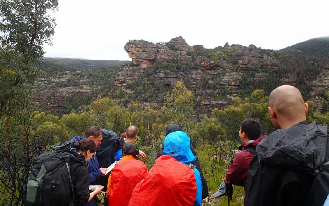
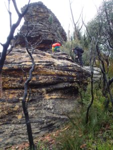
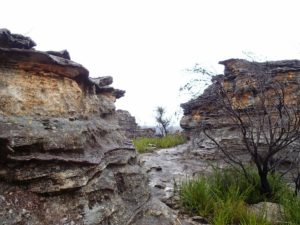
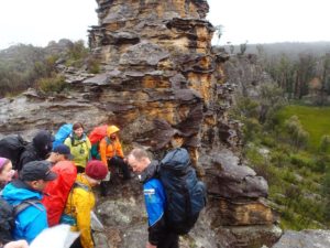
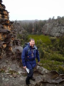
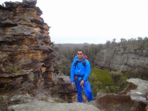
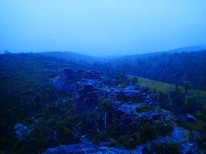
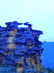
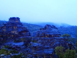
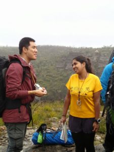
Despite the rain, which came and went, the next stage of the walk was very beautiful. Tall pagodas stood around us, small cliffs looked spectacular in the mist, and the cloud lifted enough to provide great views into the winding labyrinth of the Wollangambe and its contributing streams. A lot of valuable navigation skill was learned when we looked down into the gullies and gorges from high on a pagoda, and sure enough their story was written into the contours of the map, an encoding of fine detail waiting to be unravelled.
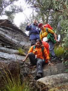
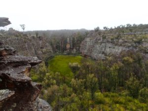
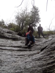
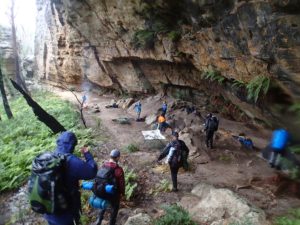
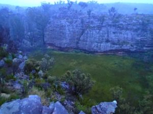
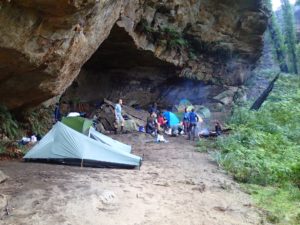
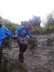
Taking turns to lead the way we followed bearings through the scrub and then sure enough, we emerged at a fire trail just metres from the track junction that we had been aiming for. By now everyone was wet and bedraggled (though Iza’s feet were somehow still dry), and the prospect of a dry campsite and cup of tea was very appealing. I told the group where on the map such a place would be found and then it was up to the students to work out the best route to get there and set compass bearings. With this done we set off as a group, again taking turns to lead. We departed from the fire trail and followed another bearing, though this time we deviated a little left of where we should have. This was another useful exercise – to learn to recognise and correct for such deviations early enough. We crossed a low ridge and then a short swamp and soon we found ourselves in an amazing sandstone labyrinth. What looked like a lush green crater was below us, delicate pagodas were all around us, there was a clear running stream and even a small canyon. This was an amazing place. Maps are no use here. We collected water and I led the way down a wet slippery slope into a huge sheltered amphitheatre and a large dry camp cave! We would be out of the rain for tonight’s camp – yay!
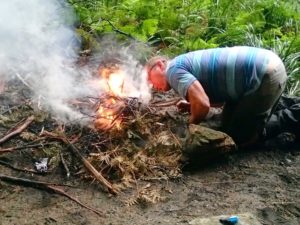
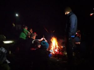
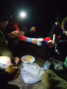
Tents went up, wood was collected and Marty got a fire going. People got into dry clothes and tea and warm food was prepared. There was a range of quality beverages, including Iza’s tequila, my vanilla vodka, and more than one bottle of wine. As the rain pittered and pattered outside we were comfortable and dry, there was lively conversation. It turned out that almost all the world’s major religions were represented among the group. And a wide cultural diversity too. So it was with warm dry feet and full bellies that we retired that evening.
Next day revealed grey skies. The rain had subsided to a fine drizzle that came and went. After a leisurely breakfast we consulted the maps and the students were given the task of working out how we would go about getting out of here and back to civilization. Lines were drawn on the map and bearings were set, and then we were off.
The clouds had lifted enough that we were able to practise some new skills. Using the compass we identified some surrounding peaks. Then we continued on our bearings, crossed the Wollangambe, and climbed steadily up to a high vantage point for an early lunch. There the group practised doing a resection (a practical one that uses just one or at most two known points), but then the rain set in again. It was time to go home.
Soon after setting off from our lunch spot Kaushi went down like a sack of potatoes – a twisted ankle. Fortunately the sprain was mild, and after some rest and strapping of her foot, Kaushi was able to walk out very capably. Kshitij did an excellent job of carrying both Kaushi’s pack and his own.
It was early afternoon when we arrived back at our cars at Bell station. Everyone enthusiastically agreed that it was a great weekend with a great group of people in a fantastic little corner of the world.
Until next navigation weekend.
Ashley Eylenburg
Epilogue
Later that evening when I got home I received a call from Felix who had always intended to join the trip. Unbeknownst to us, he had spent the entire weekend out in the Wollangambe Wilderness too, and had been trying to catch up with us the whole time. On Saturday he had been on track to arrive at Bell station by 9am but drove past it, then his car got bogged on the muddy road only a km or so past Bell station. He solicited the help of passers-by to tow him out. Meanwhile, we were still at Bell station going over maps. Thinking that we had already set off, Felix headed north into the Wollangambe, thinking we were ahead of him and not behind him. He ended up at Wollangambe Crater and spent the night there with some other people who he initially suspected may be us. We of course were instead at Gooches Crater. Felix did think of heading across to Gooches but turned back when it began raining heavily. His route back to Bell on Sunday was similar to the route we had taken out the previous day. So to cut a long story short, Felix had a great weekend of his own out in a similar area to us but on his own trip. Evidently he is proficient in navigation anyway and more than able to be self-sufficient in the bush, so although he didn’t partake in our trip in the end, all was well and a great trip was had by all.

