Date: 10/8/2024
Trip leader: Adam
Party: Alex, Dorothea, Jackie, Liam, Luna, Reina
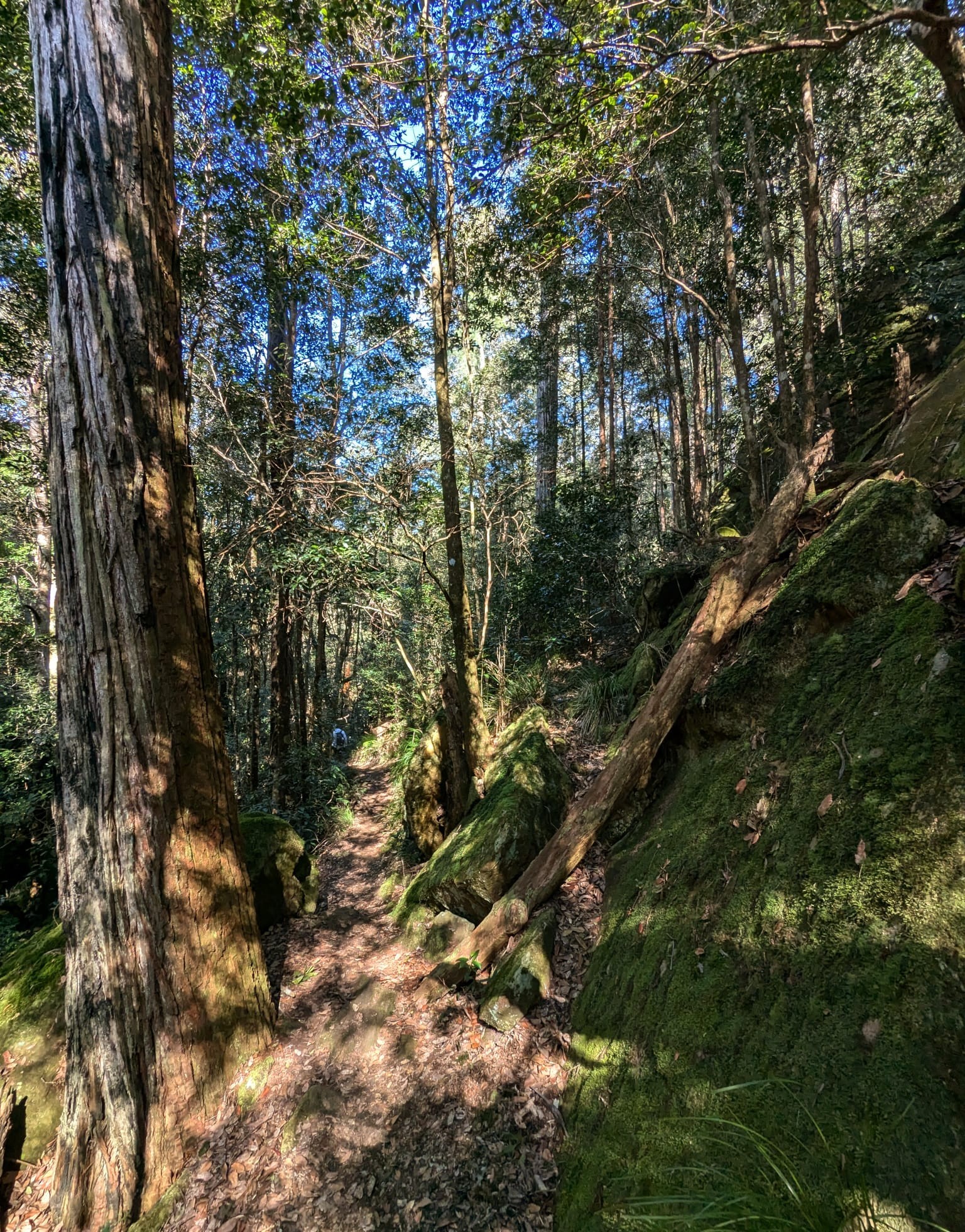
With a party of 7, we set off from Springwood station for the Magdala Creek track that would take us around to the base of Martin’s Lookout. The track was as spectacular as any in this area, heading through Fairy Dell with the tall trees shielding us from what was a pretty hot and humid July day.

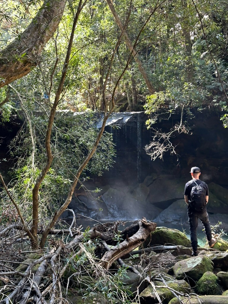
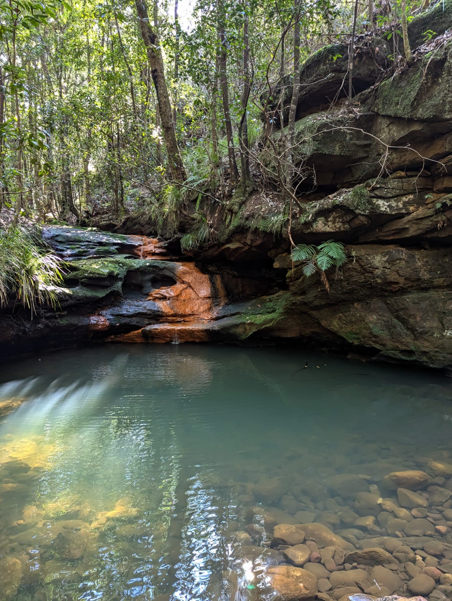
Along the way, there was an obligatory photo stop at an unnamed pool along the track.
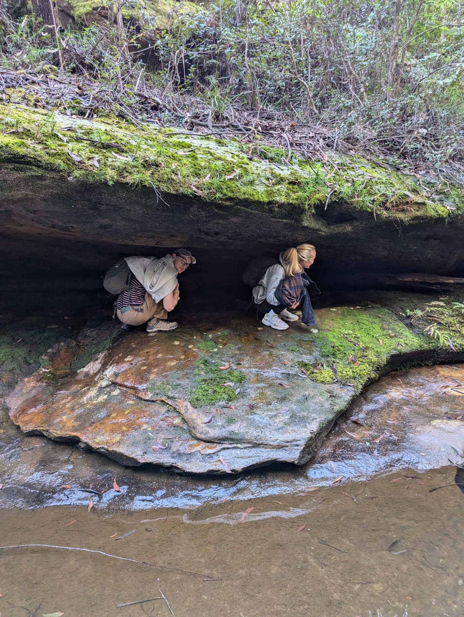
It was pretty standard stuff, a council walk through the gully. An absolutely fantastic walk but nothing out of the ordinary for this area of the Blue Mountains. It was at the 3.6km mark, however, that the adventure began. We found ourselves standing on the creek, temporarily decoupled from the track that had guided us. Back the way we came was a NPWS sign with an arrow, but that couldn’t possibly be for wayfinding. We backtracked a little bit to try and see where the track went but could not see where to continue on from this point. I knew the track followed the creek, and there was always a way out so I wasn’t particularly worried.
Armed with this knowledge, thus began the creekbash. With a relatively dry creek, I decided it was best to just follow the creek until we caught a glimpse of the track and could jump back on it.
Our first obstacle was ankle-deep water, which I am told is a common occurence in a creek. As 5 of us removed our shoes and socks for the wade, Alex and Reina sought the dry option: shuffling along a less-than-grippy rock shelf just above the creek.
After successfully braving the risk of slipping down the rock and into the creek, Alex and Reina watched on as we donned our footwear and we continued along the creek.
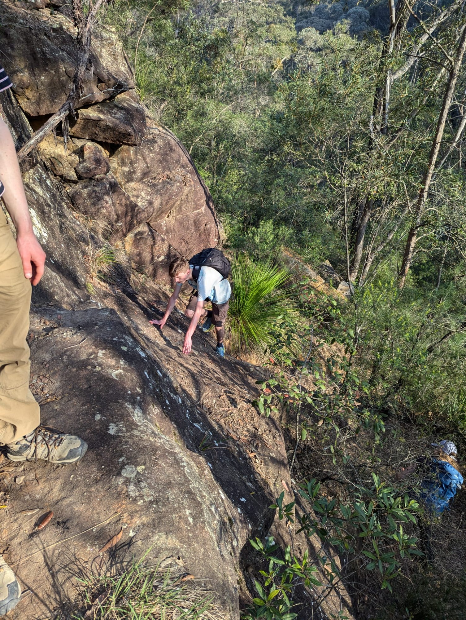
Not long after the wade, we faced our second obstacle. Boulders. Perhaps this is why they have constructed a track along the creek instead? We will never know.
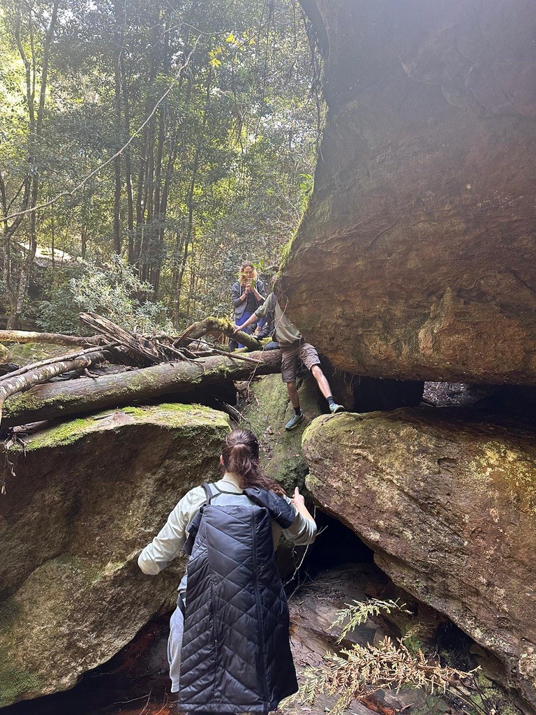
Not long after, our brave little stint of creekbashing had come to an end when Liam had spotted the steps of the track right next to the creek, which was handy because the creek seemed to get more difficult to wrangle from there.
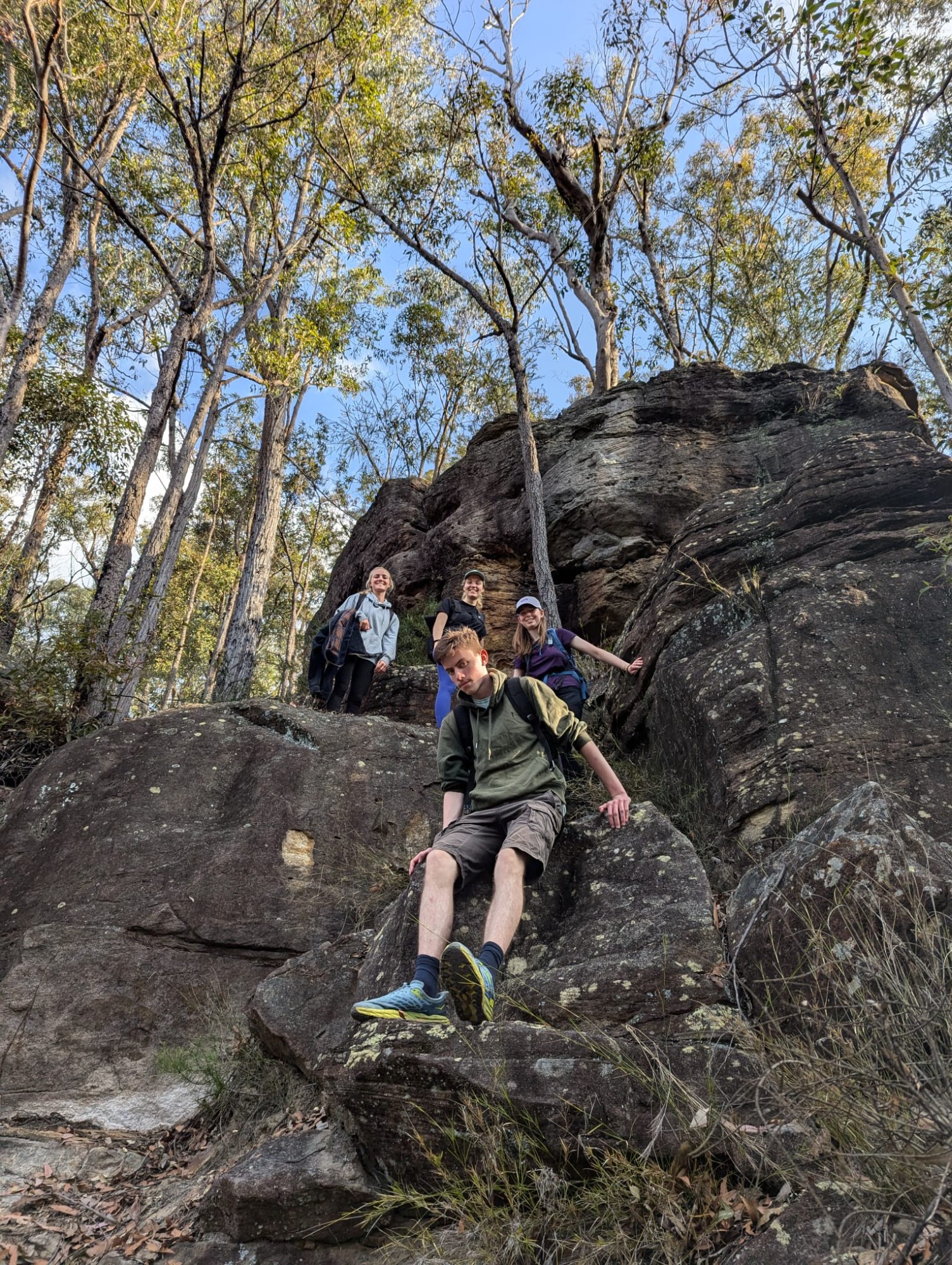
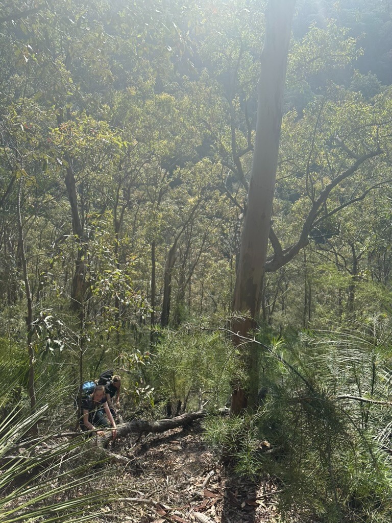
We continued on along the track to the base of Martin’s Lookout where we would begin the climb up to Bunyan’s Lookout. With a mixture of following the indistinct track and shortcuts, we were well on our way up to the top.
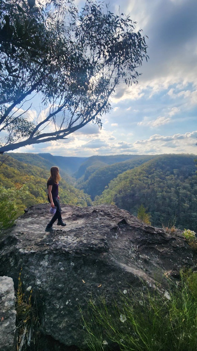
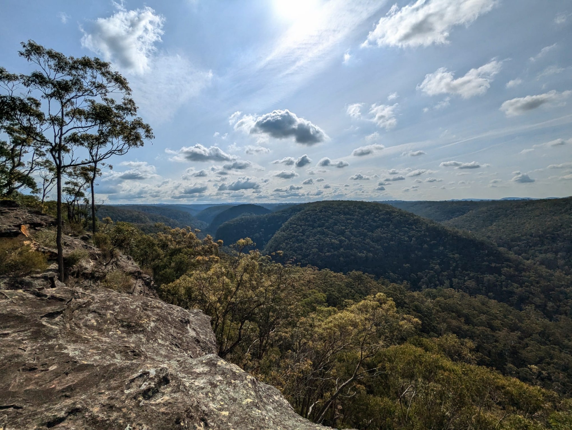
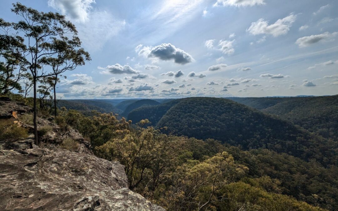
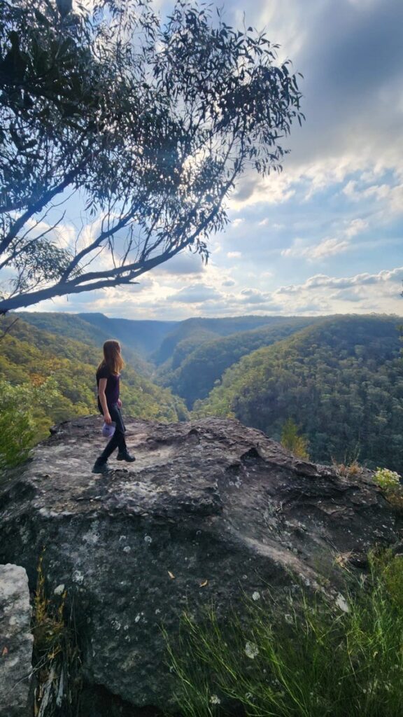
At the top, we had some much deserved lunch and enjoyed the view of the surrounding ridges and the creek we had just reckoned with.
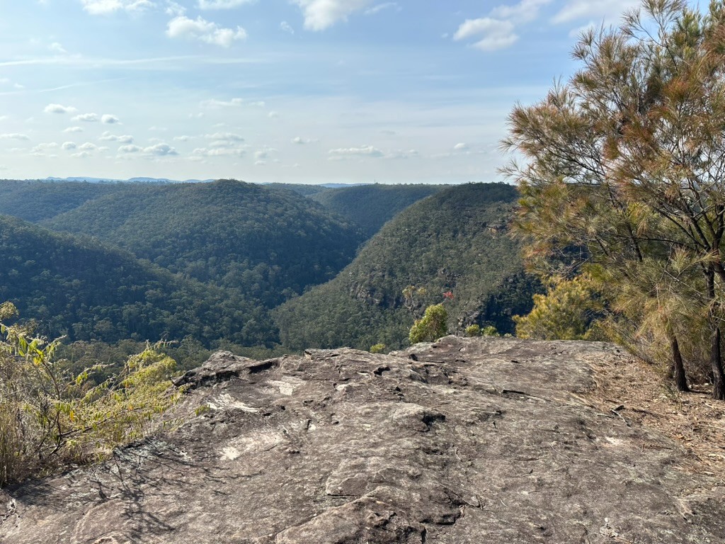
Wondering if the view from a few hundred metres west would be much different (spoiler: it wasn’t), we took the long way around to Lost World lookout. After all, it would be nearly criminal to let our summit result only in the lesser known Bunyan’s. Admittedly, the view from Lost World is nicer as you get a wider view of the creek below.
After enjoying the view from above, we began the walk to Blaxland along the somewhat overgrown but nevertheless distinct Bullants track. After a few km of pushing through the plants blocking our path, we began descending back down to Glenbrook creek.
And back up to Blaxland we go!!
After negotiating our way through the many unnamed council tracks at the top of the climb, we found ourselves back to civilisation and onforth to Blaxland station.