Date: 31/10/2024
Trip leader: Bruce Stafford
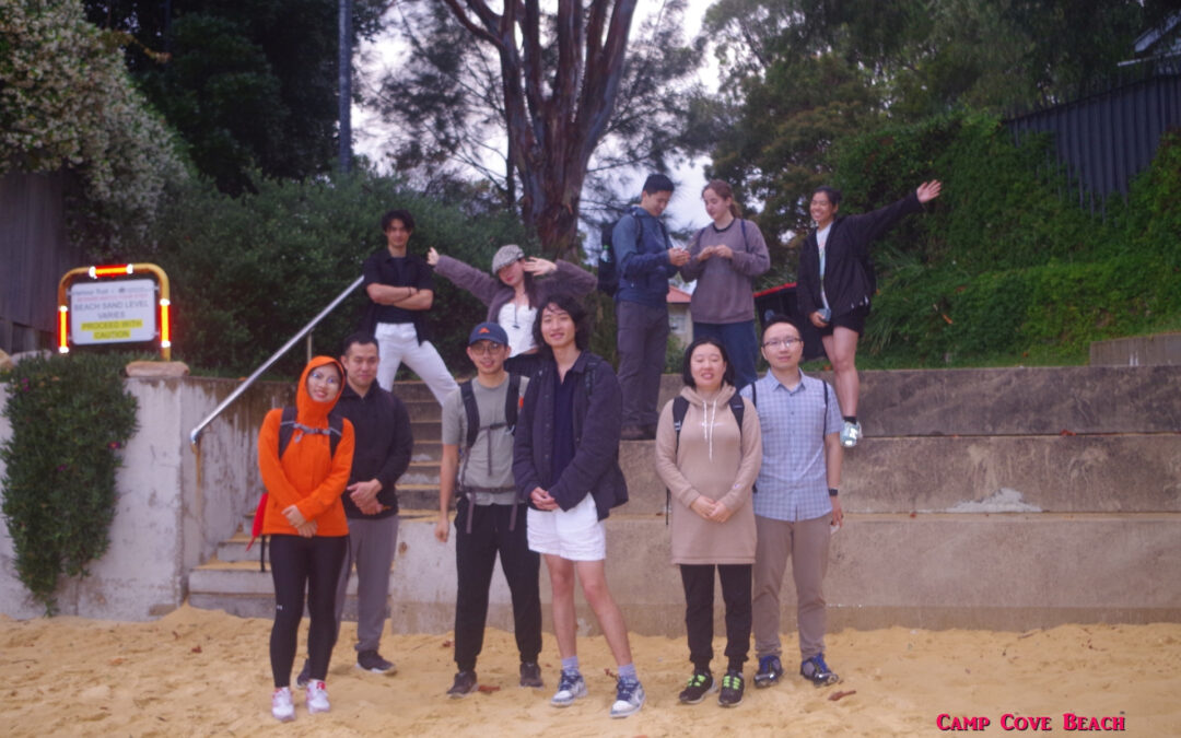
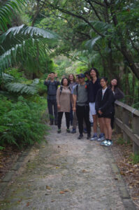
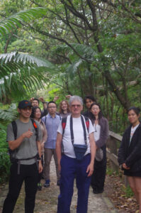
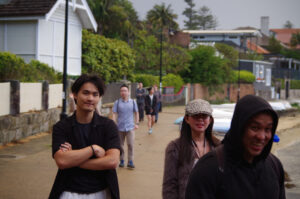
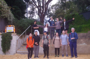
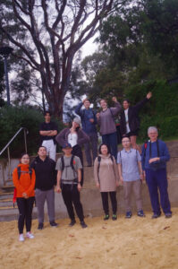
Party: Angie, Chenghan, Fredo, Jude, Lihan, Shibo, Vicky (Han), William, Terry (Wing Chun), Yahui, Yunci
Halloween walk: Dover Heights to South Head & Camp Cove. 31/10/24.
The weather forecast for the evening of this walk wasn’t all that good, but things didn’t turn out too bad overall, and the weather did provide some dramatic photographic scenes at times.
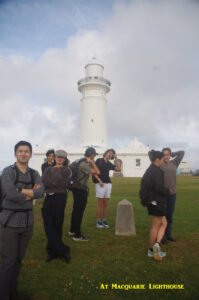
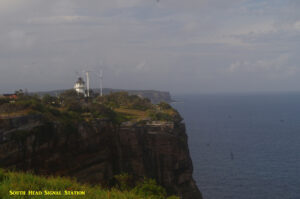
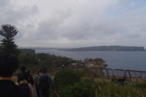
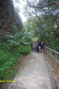
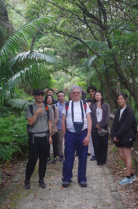
Most people met up at Macquarie Lighthouse on Old South Head Road around 5pm, and we then set out along the paths that followed the cliff line towards South Head and The Gap. It was quite windy in some places but we didn’t mind as the wind blew away the many flies that had started to follow us. We at first followed the higher level track to look at the remains of some World War 2 fortifications, then back-tracked to reach the start of the “Ghost Tram Track”. This track follows (partly) the former right-of-way of the Watson’s Bay tramline that was closed in July 1960, just 7 months before the final closure of all of Sydney’s first tramlines. The transport bureaucrats were rather embarrassed to find that the replacement bus trip took almost 10 minutes longer than the former tram trip from the City to Watson’s Bay, and this ghost tram track is the reason for that. The trams ran directly down to Watson’s Bay along this track, instead of meandering around several side streets as buses now have to do to avoid steep gradients.
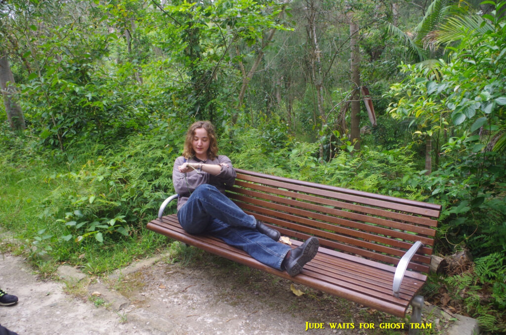
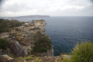
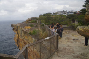
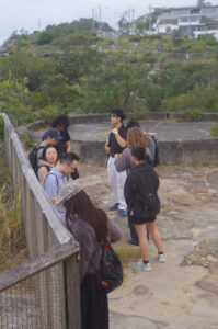
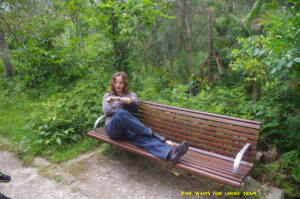
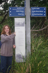
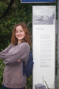
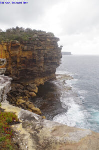
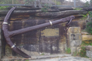
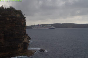
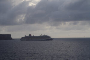
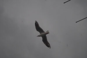
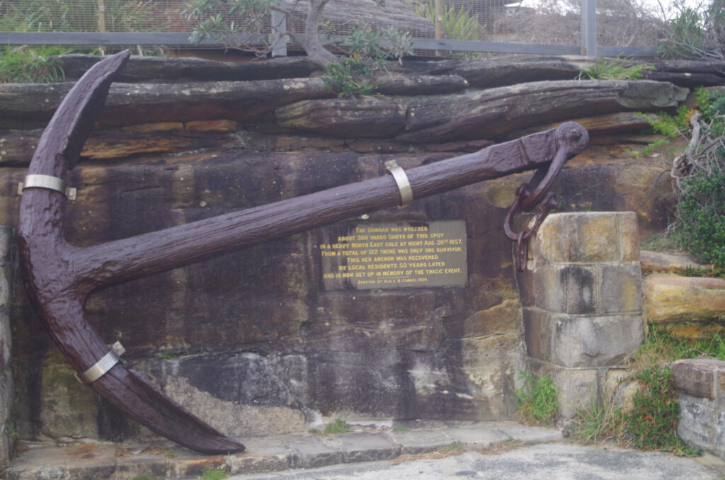
Jude posed on a seat beside the track to await the arrival of a ghost tram which would never come. Then we walked down along this track, which in 2020 was given a makeover by National Parks (NPWS) to eliminate some trip hazards, needed because this track was becoming more well-known. It passes through some fairly dense vegetation which hides nearby houses, and also there is a steep drop-off on the left (when walking towards The Gap). At the former Gap tram stop there is an interpretive sign about the trams (see photos). Then we met up with Vicky who had just arrived by bus at the terminus there (preplanned). We all went up to The Gap and watched a large cruise ship pass through the Heads, and then a look at the anchor of the S.S. Dunbar which was wrecked just below in 1857. A kestrel (type of hawk) could be seen flying over The Gap.
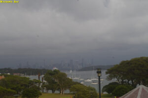
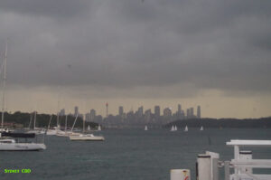
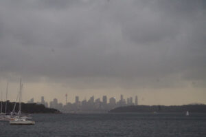
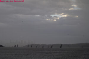
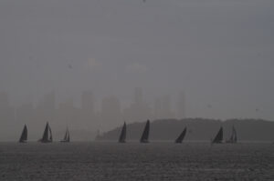
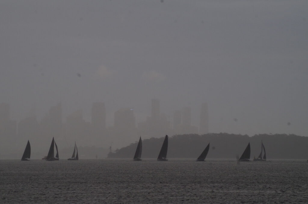
By that time a toilet stop was required at Robertson Park, and also a check of the rain radar showed that a band of rather heavy rain was headed our way and would be upon us in less than 15 minutes. Fortunately the width of the rain band indicated that the rain would last about 20 minutes and the weather would be clear after that. So we headed for the ferry wharf and took shelter under the cover provided by a cafe that was not open (so we didn’t interfere with anyone else). We did though attract some passers-by who thought that we were waiting for the 7pm ferry. Fredo had just arrived too, just making it to the wharf ahead of the rain. There was nothing we could do but wait out the rain under shelter for about half and hour and chat and share treats, like Vicky’s Halloween chocolates. Still, some dramatic photos of the rain were possible, like this one below.
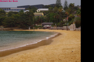
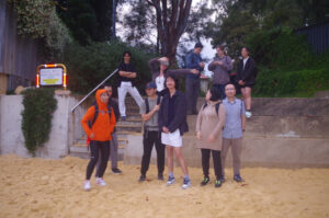
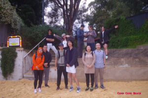
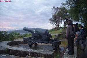
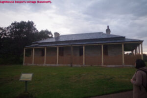
When the rain had eased to a very light shower, we then set off to walk along the promenade of Watson’s Bay Beach, which is a small harbour beach, and past a small “fisherman’s cottage” which was for sale (which I might buy if I win Powerball). Then we went via some back streets (new to me) to reach Camp Cove Beach. The beach was almost empty by this time of night, and because of the weather. At the eastern end of the beach the pathway to South Head starts and follows the shoreline past Lady Bay Beach, an 1870s cannon (to keep the Russians out) and signs warning not to use drones here (a Navy establishment is right next door). We stopped near the Lighthouse keeper’s cottage (which some claim is haunted) and then I went down to the foundations of another 1870’s gun emblacement, where I pulled out some “banknotes”. A couple of our group recognised immediately what they actually were: Chinese funerary money. I idea is that these can be burned to provide ancestors money to spend in the afterlife, and what better day to do it than on Halloween. “$300” was sent up in smoke (they are on rice paper so burn away almost completely), then another “$200” was also burnt. I had some funerary credit cards (funerary money is getting modern now) but I decided to keep those for another time. Incidentally this ceremony could not be done on last year’s Halloween walk as there was a total fire ban in place. And speaking of fire safety, I obeyed the bushwalking rule of pouring water over what little embers were left, to make sure it was out.
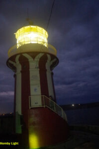
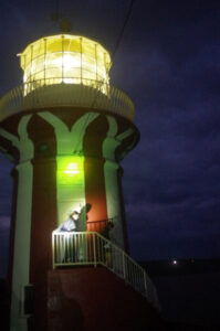
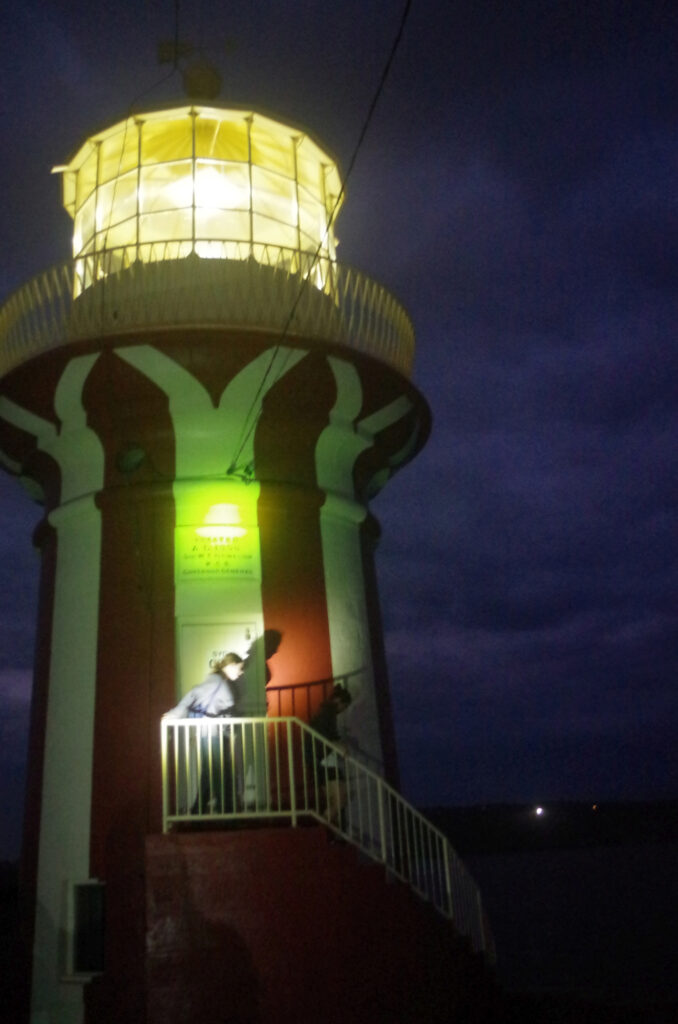
From there it was a short distance to a concrete shelter which was built in 1938 for a searchlight (to scare the Germans away this time), and then to nearby Hornby Light, built in 1858 (after the “Dunbar” disaster) and it still works today. Renovations on it are now finished so it’s possible to walk up its external steps a short distance.
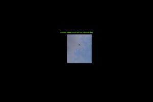
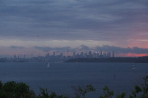
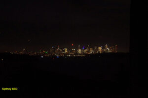
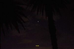
There are more World War 2 gun emplacement foundations nearby but by now it was too dark to see anything. So we continued also the loop track which took us back to Lady Bay Beach and then back to Camp Cove Beach. The we set off along Cliff Street past houses with Halloween decorations, then a hard left turn into Hornby Light Road. At this point I advised the group not to take any photos of the entrance gate to the Naval Establisment (HMAS Watson) which was just ahead, unless they wanted an “interview” with military police. Indeed as we got closer to the gate before making a hard right turn into Gap Bluff Road, a guard came out and watched us but said nothing. Gap Bluff Road is normally closed to vehicles and forms part of the Manly to Bondi Walk. At one point along the road the Sydney CBD lights can be clearly seen. Not only that, but the sky directly above up was free of clouds and a planet was shining brightly (see 4th last photo) which at first I thought was Jupiter as it was so bright, but a check of the night sky map showed it was actually the planet Saturn; the slightly oval shape caused by this planet’s rings shows up in the photo. Speaking of planets, Venus showed up for a minute in the western sky before being hidden by clouds, and Mercury remained obscured by the weather the whole time.
Gap Bluff Road ends at The Gap and the bus terminus. We waited for about 10 minutes for the next bus back to the City, although I got off at Edgecliff Station. On the bus I saw a slug starting to crawl up the back of the seat in front of me; it must have hitch-hiked on someone’s pack or shoes. I cauught it and wrapped it in a handkercheif, intending to let it out at Hornsby Station’s gardens, but then I recalled that Sydney Town Hall (the building not the railway station) also has gardens, so I let it out there.
Everyone seemed to have a good time despite the unfriendly weather. A couple of people had pulled out because of health issues or unfinished assignments, but there were no actual “no shows”.
I hope to combine an afternoon walk with a Mercury-sighting evening, but the challenge is to have an early evening with no clouds in the western sky; that is a challenge in the present unstable Spring weather.
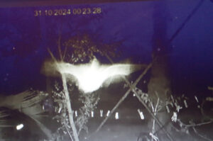
The last three photos at the end are in keeping with the Halloween theme, althought taken with an infra-red monitor camera under my house on the same day. They show a little micro-bat; these bats hunt insects as they fly and are very fast, hence the blurred images.
Here is a You Tube video link to the history of the Watson’s Bay tramline, and in the opening minutes it actually shows the wharf where we shelterd from the rain, and a real tram on the Ghost Tram Track!: https://www.youtube.com/watch?v=Tc02xxRdXTU
Cheers, Bruce Stafford

