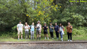
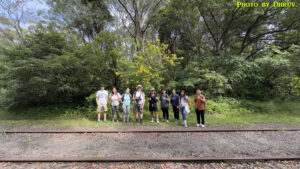
Date: 23/3/2024
Trip leader: Bruce Stafford
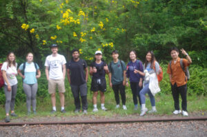
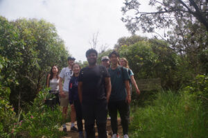
Party: Bennett, Christina, Dhruv Kumar, Jackie, Jackie, Jacob, Jingxin, Lara, Marc Harry, Stella
Fernleigh Track and Glenrock Conservation Area, Newcastle area. 23/3.
It was going to be good day for this walk, with weather not too warm, and a friendly quite low tide mid-afternoon making the beach and rock platform sections a lot easier.
It’s quite a long day for the group; from start to finish at Sydney being just over 11 hours, but it still seems to draw members each time it is done.
Anyway, most people got on the train at Central or Strathfield, with myself getting on at Gosford. On arrival at Adamstown, I discovered there was one “no show”, and then Jackie J told me that her friend Jingxin was at Broadmeadow (Jingxin was not the “no show” BTW). So, that made me think that she got carried on to the train’s next stop, so no matter, she can get a taxi back to Adamstown and will be here in 10 minutes. But Jackie said, no, she was on a different “line”. This puzzled me as there’s only one line to Newcastle. Eventually I worked out that Jingxin had missed that train at Central and was on the next one which would get to Broadmeadow an hour later. Jackie said that Jingxin would get a Uber to catch up with us later. Jingxin’s mistake was not contacting me, the trip leader, when she found she had missed the train. More on that later.
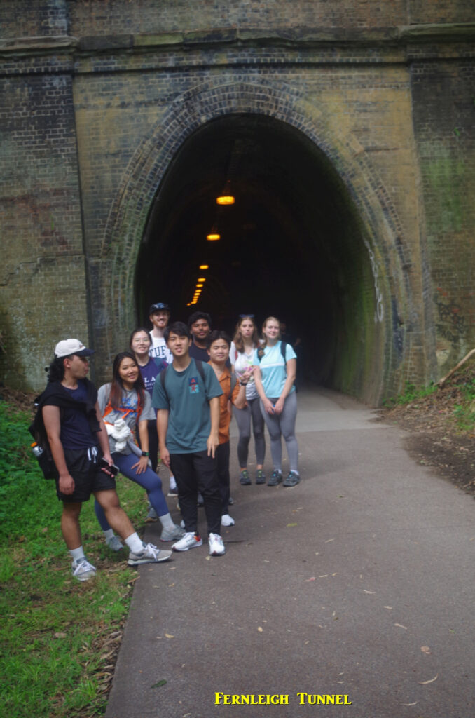
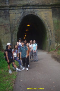
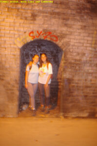
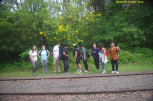
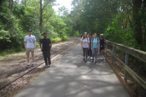
So with that settled (for now) we all set off along the Fernleigh Trail, which is a paved rail trail shared with bicycles, so this section is a “hike“. It is quite straightforward, and rises on a steady 1 in 40 Gradient until Burwood Road, and passing through the 181 metre long Fernleigh Tunnel. In the Tunnel, Lara and Christina posed in one of the refuges, placed at 50 metres along every railway tunnel so you can shelter there if a train comes. Then we reached Burwood Road at Kahibah and turned left for about 100 metres to the Glenrock Conservation Area car park, which is where the Yuelabah Track (and final part of The Great North Walk) starts. By this time, I reckoned that Jingxin should not be too far away, and Jackie J confirmed that she was now in a Uber at Adamstown Heights. So we stood around the information sign and everyone chatted to themselves while we waited, and I handed around that Aussie delicacy, Lamingtons. But we waited and waited, with Jingxin eventually arriving over 20 minutes later. In the meantime, Jackie was tracking Jingxin and showed her to be on Burwood Road to our east, walking back to us! This was very odd, and on arrival Jingxin told us that the Uber driver had dropped her off in a residential street, which I later found was called Glenrock Close, in the next suburb (Dudley Beach) and she said he refused to drive her back to the car park where we were waiting. So she had to walk the 600 metres back along the road. I will have more to comment about this Uber ride later on.
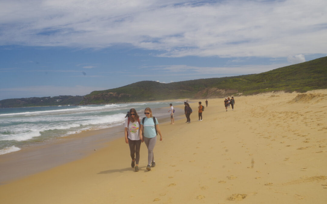
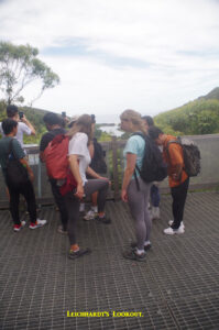
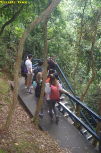
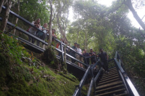
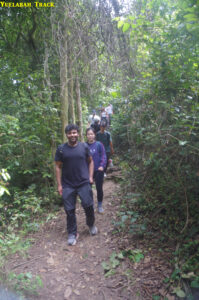
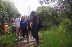
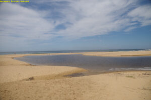
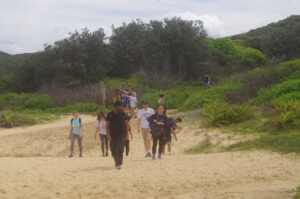
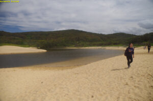
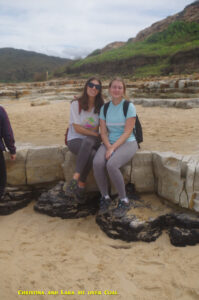
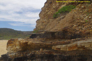
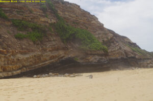
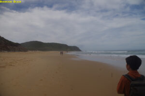
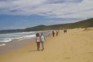
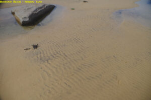
Now that we had our 11 walkers, we set off along the Yuelabah Track, which here is a wheelchair accessible boardwalk as far as Flaggy Creek Bridge and so still qualifies as a hike. Shortly after the bridge the boardwalk ends, and we were now on our Bushwalk. The track follows Flaggy Creek and reaches Leichhardt’s Lookout, from which the entrance to Glenrock Lagoon at the beach can be seen. I also pointed out an eagle circling way overhead. From Leichhardt’s Lookout the track continues, descending down a set of steps to the forest floor and continuing through shady trees until coming out at the south end of Burwood Beach and the Glenrock Lagoon entrance. This time the lagoon was not flowing into the sea, unlike other times we have been here. I pointed out the coal seam along the beach (on which Lana and Christina sat) and a bit further on the remains of the old collery railway that once ran along the beach, but very little of it now remains. It was noticable too that there was a lot more sand on the beach than in previous years, meaning nature has repaired the beach after the series of heavy seas a couple of years ago that washed away a lot of sand. Jackie Xu and others were also fascinated by a small sand crab.they found.
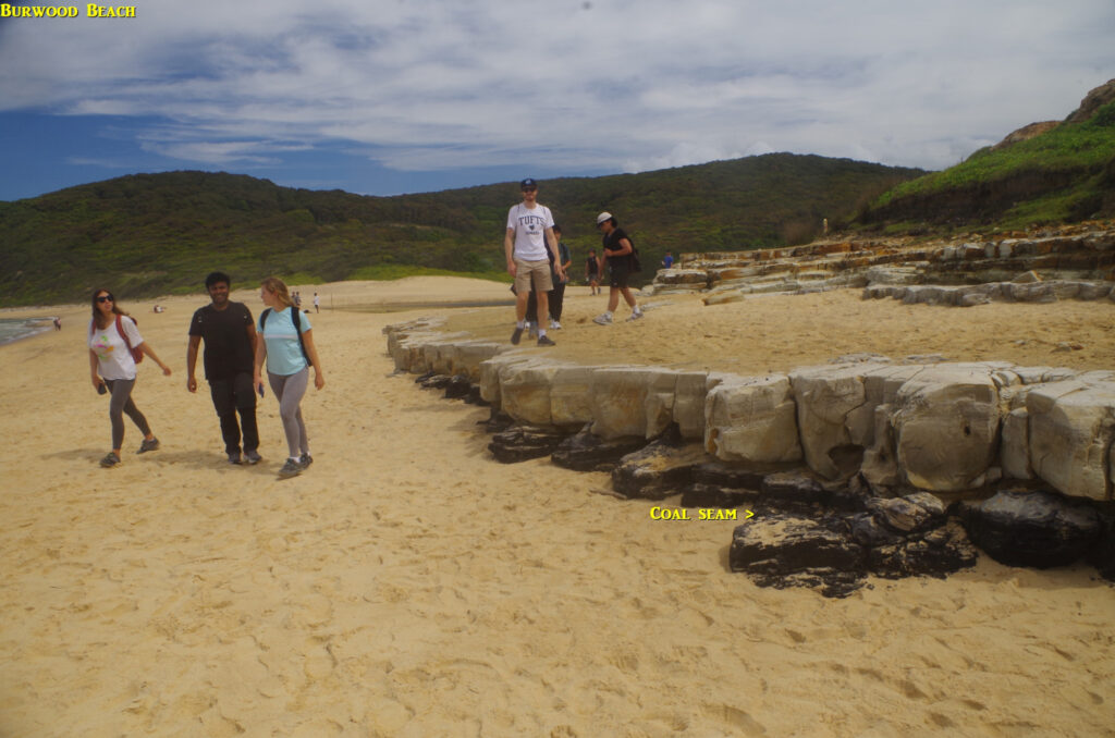
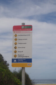
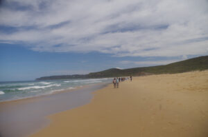
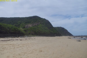
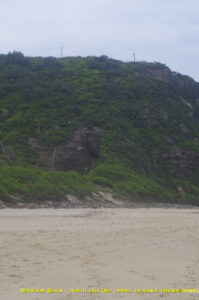
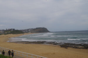
Burwood Beach is 1.3km long, and is not safe for swimming as it is not patrolled and has several rips. The land inland from the beach is still mainly bushland (except for a water treatment plant), and the past mining activity there has ironically saved the area from residential development. On a falling tide (as now) the sand is nice and firm at the water’s edge and makes walking easy; just need to dodge the occasional bigger wave! On reaching the north end of the beach, the remaina of the two tunnels of the old mining railway can be seen but the tunnels themselves are not accessible anymore as the entrances were blown down long ago.
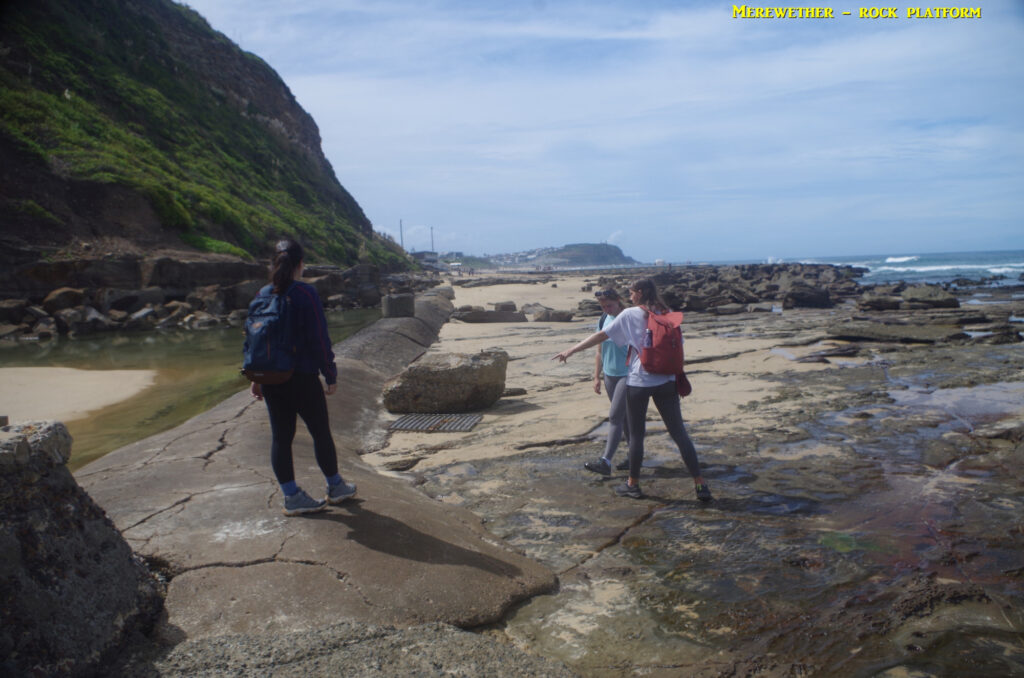
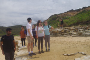
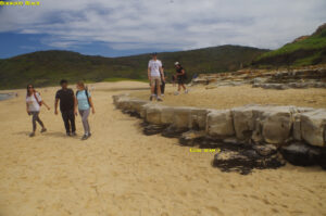
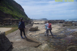
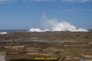
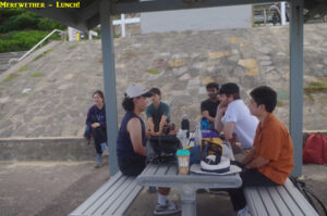
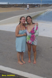
At the end of the beach, the walk across the rock platform under Merewether Head starts, and due to the quite low tide was very easy this time. (If the tide is high, then the alternative is a walk up the steep track to Merewether Heights and a street bash down to Merewether. Fortunately this was not needed this time). So we crossed the rock platform and reached Merewether Ocean Baths, and found a shelter for lunch. For lunch I handed out some of my home-grown bananas, this time they were full sized bananas, not the smaller sugar bananas I had on the Stanwell Park walk recently; people liked them and said they were sweet. Christina and Lara went in for a swim, and noted that the water was cold.
So we relaxed at Merewether Baths for about 45 minutes, and various discussions, such as why Americans call toilets “bathrooms” (puritanical origin, said Bennett), and that Chinese students are avid adopters of American idioms. Obvious example is “bathroom” for toilet, and there’s also “gas station” for petrol station, and I have heard “cell” used for mobile phones. Then it was time to start off on the last section of the walk, which because it was on paved footpaths, was again a “hike”. Earlier, Jackie Xu had asked if the Baths was the end of the walk, and I showed him Strzelecki Lookout in the distance, and said that we still had to climb that hill!
As we set off, a low flying aircraft flew back and forth and it looked like an RAAF military “Pilatus” trainer, and probably was as it didn’t show up when I checked the aircraft tracking website https://globe.adsbexchange.com/ Shortly after, two jet planes rapidly roared across at low level leaving in no doubt that they were RAAF Airforce F35A’s! Dhruv wondered if they were connected with the forthcoming air show at Warnervale, but I explained that the RAAF airbase at Williamstown is only 20km away so that’s where they are from. Locals took little notice so it must be a common occurrence.
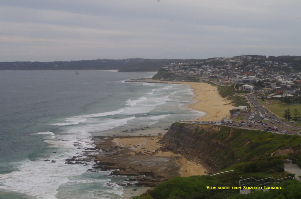
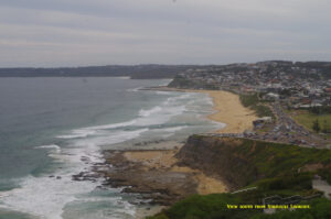
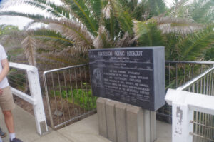
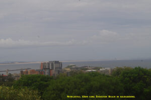
Soon enough we came to the start of the climb up Cooks Hill to Strzelecki Lookout, and on the way the group found a skink on a wall. At the Lookout, there are great views down the coast as far as Swansea, and also north along Stockton Beach. The Gallipoli World War 1 Memorial Walkway is also here, and Christina pointed out the names of French towns she knew, listed as battle sights. After the Lookout we went to “Shepherd’s Hill Complex”, where the ruins of an old World War 2 fort is located. This fort was the only one (apart from Fort Scratchley near Newcastle Beach) which in June 1942 fired upon a Japanese submarine which had earlier fired on Sydney Harbour and then at Newcastle. It then fired on a Russian freighter approaching the Harbour before it left (Russian freighter was not hit). Local defences in 1942 were rather sparse; sea patrol aircraft at the time consisted of just five Dornier Flying Boats but they were not going to find a solitary submarine in the vast sea at night.
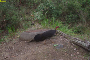
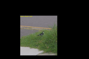
Near the fort I noticed a male Magpie Lark, also called a Peewee (see photo). This bird however is neither a magpie nor a lark. (I suspect the common name “Peewee” might get a few giggles from some!). If you see a lone male anywhere, there will most likely be a female sitting on chicks in a nest nearby.
After the fort we continued along a path which drops down to the seaside promenade, but unfortunately repair work on it is still not finished after 5 years (!) 😠, so we then had to go back up to King Edward Park and walk throught its Norfolk Island Pines to Watt Street, and then down to the tram terminus. Here we had a surprise, as there were no trams running and we had to walk a block to Customs House to get a replacement bus to Newcastle Interchange railway station. The absence of signs at the Customs House didn’t help but there was a bus staff member who showed us where to wait for the bus, which came after about 5 minutes. It was just as well we arrived early for the bus as it was not running to the tram timetable, and if we had missed it we would have had to wait an hour for another train to Sydney. As it was we got to the station with more than 10 minutes to spare until the next Sydney train left.
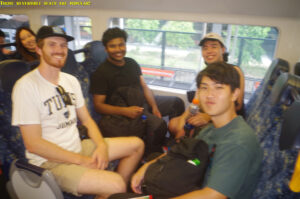
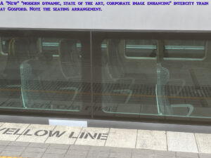
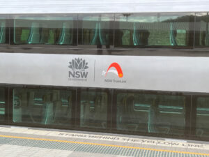
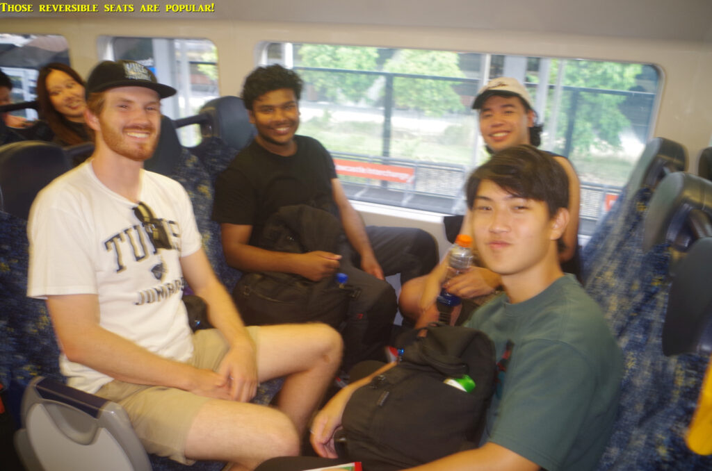
We settled in for the two and a half hour trip back to Sydney, and favourable comments were made about the reversible seats in the present Intercity and OSCAR trains. These reversible seats have not been installed in the “new” Intercity “modern dynamic state of the art” sets soon to come in service. That’s despite reversible seats being greatly preferred by NSW passengers since the end of the 19th Century, but whose wishes were ignored by the incompetent clowns in the rail section of NSW Transport. (“modern dynamic state of the art” is NSW Transport’s description of them, not mine). Incidentally, when I was waiting for the train at Gosford in the morning, one of the “new” trains pulled in on the opposite platform, so I got a couple of pics of the seats in those carriages, which are at the end of this report.
On the way back near Morisset we saw several kangaroos in the fields near the railway. I got off the train at Gosford to change to my own local train, and the rest continued on to Sydney. Everyone seemed to enjoy the walk.
There’s a couple of takeaway lessions from this walk. First, it is very important to contact the trip leader if you have a problem such as missing the train. DON”T pass messages to the trip leader through a friend who might get the information mixed up. And you can’t assume you can just catch up to a group; if this was a Wondabyne walk, there is NO WAY that someone running an hour late could have caught up with the group as there is no place along the track there to do that. This is also true of many other walks. It would result in a 150km round train trip for nothing. Failure to communicate properly causes the most problems on a walk. You can’t always rely on certain “hiking” websites either to guide you to catch up; some show non-existent tracks 😠.
Re Jingxin’s Uber ride, it’s one of the reasons I prefer not to rely on them. Ubers rely on GPS direction which can be misleading (note that her Uber went to “Glenrock Close” instead of Glenrock car park). I know that Uber seems more popular, and let’s face it, it is trendy and their app readily accessible (I think the Chinese app Didi refers users to Uber too). The ordinary taxis however are more reliable, and their drivers usually don’t need a GPS to get to the right destination. On my Pearl Beach walk last year, Jinbei was running half an hour late (she also let me know 😇) and got a taxi at Woy Woy without any waiting and actually got to Pearl Beach ahead of the rest of us! It did cost a bit more for the same distance but was 100% reliable. If you have an issue with a taxi ride, there is an 1800 free NSW government number to lodge a complaint. (And just for the record, I am not associated with any taxi company).
I am hoping that we might be able to do the Forest Walk between Coalcliff and Austinmer in the near future as the Sublime point track is supposed to open some time in April. Also once the track repairs on the Coast Track through Palm Jungle is completed in July, it will be a lot easier and much shorter to do the Figure 8 Walk than it is now. We will see.
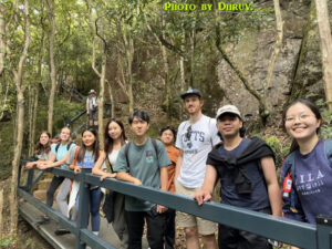
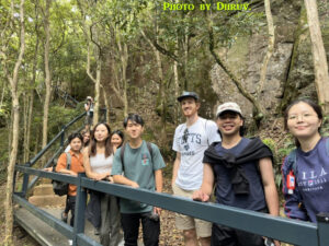
Photos are by myself, except the last four which are by Dhruv.
Bruce Stafford.

